
Alexander Rolwes successfully defended his dissertation entitled “Geovisual approaches to the analysis of spatiotemporal relationships in urban use cases” (original German title “Geovisuelle Ansätze zur Analyse von Raum-Zeit-Zusammenhängen in urbanen Anwendungsfällen” on June 16, 2025. His thesis was written as part of the BAM - Big Data Analytics in Environmental and Structural Monitoring project and was supervised at the Promotionszentrum Angewandte Informatik (PZAI) (Doctoral Center for Applied Informatics) of the Hessen universities of applied sciences in cooperation with RheinMain University of Applied Sciences in Wiesbaden.
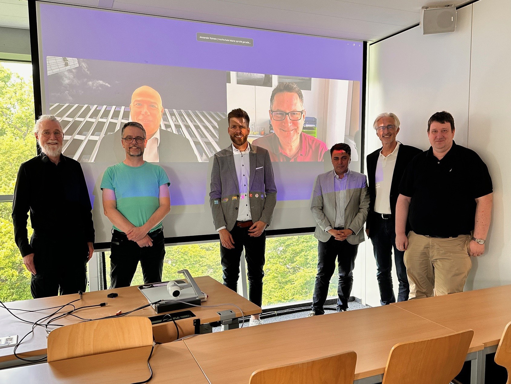
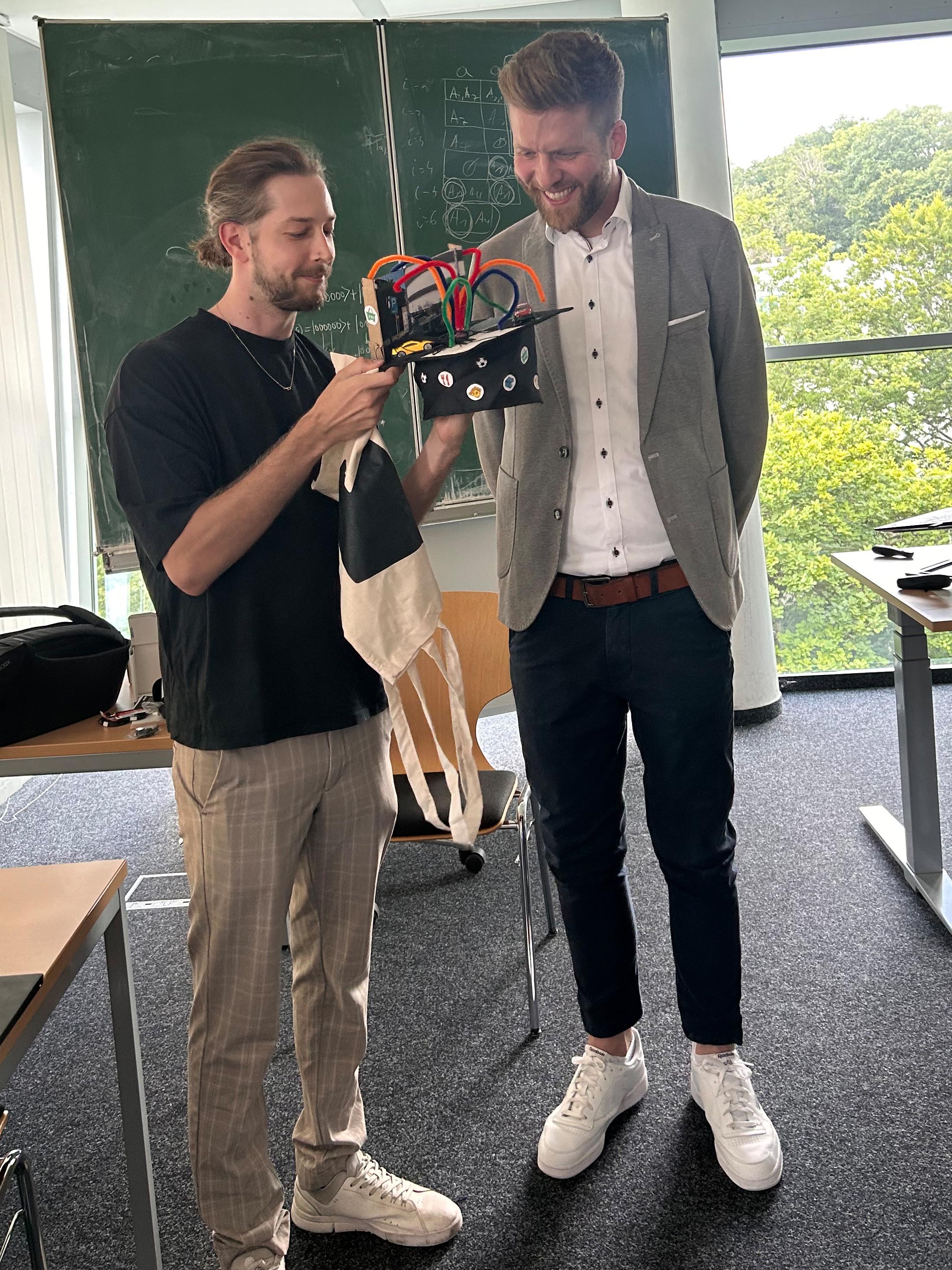
Photo left: Advisors, reviewers, and committee members: Ulrich Trick, Martin Gergeleit, Paul Grimm, Alexander Rolwes, Tobias Schreck, Kawa Nazemi, Klaus Böhm, Ralf Dörner (from left to right), Photo: Kawa Nazemi, CC BY SA 4.0
Photo right: Cédric Roussel presents the doctor’s cap, photo: Bastian Plaß, CC BY SA 4.0
Alexander Rolwes focused intensively on the analysis of spatiotemporal relationships in urban fields of application. The aim of the thesis was to use analytical and geovisual methods to gain new insights into the mobility sector and to incorporate those with high practical relevance into decision-making processes. The research was carried out in close collaboration with experts from the mobility sector.
The dissertation focuses on a multi-level geoanalysis approach for identifying spatiotemporal patterns. This concept underwent practical testing using specific application examples, such as parking garage utilization in Mainz or bicycle rental stations in Hamburg. The approach combines three interconnected analysis components: an accessibility analysis, a business hours analysis, and an attractiveness analysis. This allows potential destinations in the geographical vicinity of mobility facilities to be evaluated on the basis of data.
Based on the results of the geoanalysis approach, interactive geovisual 3D solutions were developed that make complex spatiotemporal relationships visually accessible. The solutions integrate new visualization techniques and interactive explanatory and control elements to support geospatial decision-making processes. Evaluations show that these tools significantly increase the effectiveness, efficiency, and satisfaction of users while promoting a deeper understanding of the analyzed relationships.
In terms of practical application, the methods developed were integrated into existing data processes to provide targeted support for specialized users – particularly in the field of urban mobility – in collaborative analysis and decision-making.
This dissertation thus makes a substantial contribution to the data-based, visual analysis of spatiotemporal relationships and provides new methodological and technological tools for decision-making support in urban contexts.
The thesis was supervised by Prof. Dr. Ralf Dörner (first advisor) and Prof. Dr. Klaus Böhm (second advisor) and reviewed by Prof. Dr. Paul Grimm (first reviewer) and Prof. Dr. Tobias Schreck (second reviewer). The doctoral process was supervised by Prof. Dr. Kawa Nazemi (committee chair), Prof. Dr. Ulrich Trick, and Prof. Dr. Martin Gergeleit.


