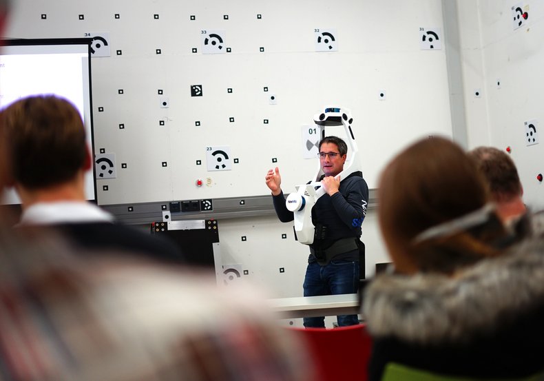
In mid-November, Harald Saeger from the Munich-based company NavVis GmbH visited Mainz University of Applied Sciences. A team from i3mainz had invited him to give a demonstration of the system.
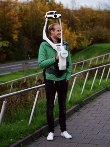
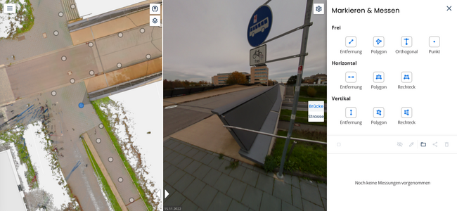
The NavVis VLX 2.0 is a wearable mobile mapping system for rapid 3D scanning of the urban environment – the key word being Reality Capture. To meet the requirements of modern and future-proof scanning, the Munich-based company has developed wearable hardware consisting of a combination of multi-profile LiDAR sensors and SLAM software. In conjunction with the cloud solution NavVis IVION, the captured 3D point clouds and panoramic images can be processed overnight and fully automated into a textured, homogeneously sampled 3D point cloud.
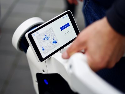
Bastian Plaß, staff member and PhD student at i3mainz, tests the system, NavVis VLX user interface,
Photo: i3mainz, CC BY-SA 4.0
Harald Saeger demonstrated the entire process of using the system, from unboxing to hardware and software to post-processing of the data. Afterwards, the participants, including staff and professors of the i3mainz and the School of Engineering, as well as students, were allowed to interact with the device themselves. This resulted in test scans of both the classroom and the geometrically impressive campus bridge that connects Mainz University of Applied Sciences with JGU. The processed 3D point clouds and panoramic image data are now available to the university and will be used for student theses.
Processed data of the campus bridge from NavVis IVION, photo: i3mainz, CC BY-SA 4.0
With an interested audience, Mr. Saeger impressively demonstrated what a clever combination of technical solutions is capable of and how laser scanning has evolved in its 20 years of existence. We thank him for the interesting demonstration and are looking forward to what is still to come.
