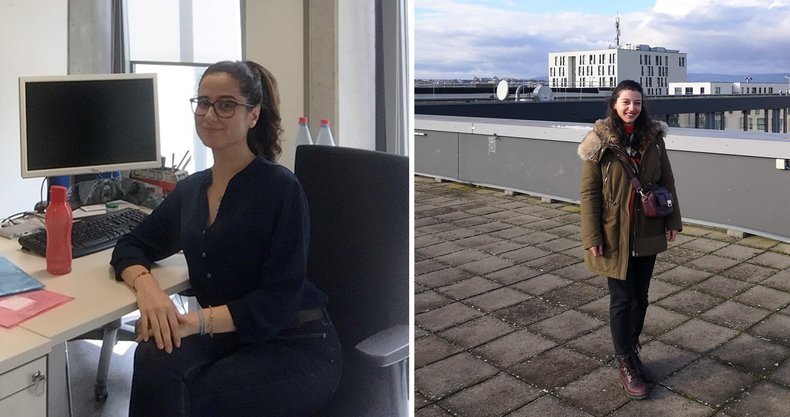
As part of the EU Erasmus+ program, Esra Şengün from Istanbul Technical University and Merve Özer from Karadeniz Technical University in Trabzon completed their internships at i3mainz. Both were supervised by Prof. Dr. Hossein Arefi.
During her internship, which spanned the period from the beginning of July to the end of September, Esra dealt with the processing of remote sensing data of different time epochs in Mainz and from different sources, such as the satellites Sentinel 2, LiDAR, digital elevation models and road traffic maps. Her aim was to model what are called urban heat island (UHI). An urban heat island is an area that is significantly warmer than surrounding rural areas due to human activity. For this, she had to pre-process the data and learn how to use basic tools for analyzing optical and elevation remote sensing data. To program her machine learning approach, she prepared the training and test data for subsequent processing and evaluation. Esra has since authored an article titled Modeling Urban Heat Island with Landsat Images and LIDAR Data Set and presented it at GEOSYM 2022.
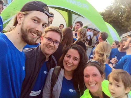
Cédric Roussel, Patrick Stellbauer, Esra Şengün and Flora Bastian-Resch (from left to right),
at the Mainz Company Run 2022, photo by Cédric Roussel, CC BY-SA 2.0
Merve addressed the topic of UAV flight planning from the beginning of October to the end of November. During her two-month stay, she studied the principles of photogrammetry, such as orientation and stereo alignment. She learned to import aerial imagery into Agisoft Metashape to create 3D point clouds. Using the open-source software CloudCompare, she analyzed the data and created a digital surface model.
We wish both students all the best for their professional and personal futures.
